|
|
|
|
 |
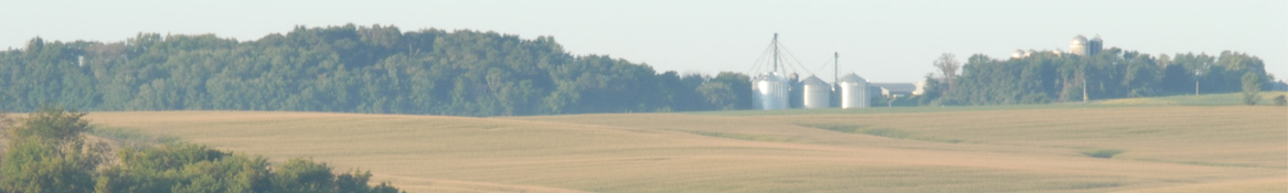
County Forecast for Cloverdale , IN |
|
|
| | 160800-
Putnam-
Including the city of Greencastle
528 PM EDT Tue Jul 15 2025
Tonight Mostly cloudy through midnight, then becoming partly cloudy. Scattered showers and thunderstorms. Patchy fog toward daybreak. Lows in the lower 70s. South winds around 5 mph. Chance of rain 50 percent.
Wednesday Partly cloudy with scattered showers and thunderstorms. Humid with highs in the upper 80s. Southwest winds around 5 mph. Chance of rain 50 percent.
Wednesday night Partly cloudy. Isolated showers and thunderstorms through midnight, then scattered showers and thunderstorms toward daybreak. Humid with lows in the lower 70s. Southwest winds around 5 mph. Chance of rain 30 percent.
Thursday Partly cloudy. A chance of showers and thunderstorms in the morning, then showers and thunderstorms likely in the afternoon. Humid with highs in the mid 80s. West winds 5 to 10 mph. Chance of rain 70 percent.
Thursday night Mostly cloudy. A chance of showers and thunderstorms through midnight, then a slight chance of showers and thunderstorms toward daybreak. Lows in the mid 60s. North winds around 5 mph. Chance of rain 40 percent.
Friday and friday night Partly cloudy with a chance of showers and thunderstorms. Highs in the lower 80s. Lows in the upper 60s. Chance of rain 40 percent.
Saturday Partly cloudy. A chance of showers and thunderstorms in the morning, then showers and thunderstorms likely in the afternoon. Highs in the mid 80s. Chance of rain 70 percent.
Saturday night Partly cloudy with a chance of showers and thunderstorms. Lows around 70. Chance of rain 50 percent.
Sunday Partly cloudy with a chance of thunderstorms. A chance of showers in the morning, then showers likely in the afternoon. Highs in the mid 80s. Chance of rain 60 percent.
Sunday night and monday Partly cloudy with a chance of showers and thunderstorms. Lows around 70. Highs in the mid 80s. Chance of rain 40 percent.
Monday night and tuesday Partly cloudy with a chance of showers and thunderstorms. Lows around 70. Highs in the upper 80s. Chance of rain 30 percent. |
|
|
|
Bryce Anderson – DTN Meteorologist
|
| Front Drifting Farther South Wednesday |
» More DTN Weather Commentary |
| Posted at 12:37PM Tue Jul 15, 2025 CDT |
Click here to get your local weather emailed to you each day.
|